Geographic Information Systems Laboratory
Type: Geographic Information Systems Laboratory
Held By: Heriot-Watt University
Number Held: 0
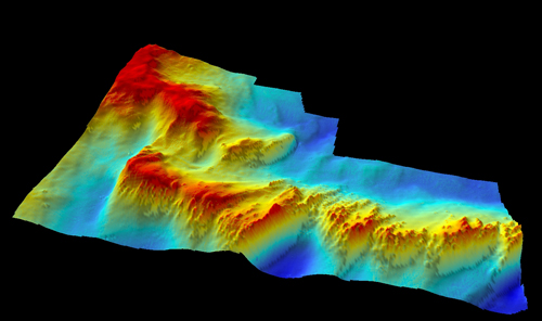
This GIS Laboratory provides Geographic Information Systems (GIS), remote sensing, image processing and 3D modeling resources for researchers within the Centre for Marine Biodiversity and Biotechnology. The GIS Laboratory currently has two PC's and two Mac's and hosts ArcGIS® Desktop, Matlab, Ocean Data View, OFOP, Adobe Photoshop, Illustrator and Premier.
Researchers use the lab for compiling and digitizing spatial and attribute data, interpreting marine and geophysical data, and producing publication-quality maps and figures. In addition, the lab offers equipment, software and facilities for instructing students, faculty, and staff throughout the Centre.