Habitat mapping
Deep water habitats
The last few decades have seen a rapid expansion in the exploration and exploitation of the deep-sea floor. Commercial fishing and oil production is extending to ever greater water depths and other deep-sea mineral resources (e.g. massive sulfides) are now being commercialised. Maps form the backdrop to all seabed studies and are an essential tool for management and assessment of human impacts.
Wide-area survey tools, such as the NOC TOBI side-scan sonar system illustrated above, are key to efficient seafloor mapping. Direct observation and / or sampling of the seafloor is also essential for habitat ground-truthing.
Habitat mapping deals with the mapping of the physical and biological components of seabed habitats, which can be defined as particular environments distinguished by their physical characteristics and associated biological assemblages. Traditionally, habitat maps are based on a combination of wide-area data sets (e.g. multibeam bathymetry, sidescan sonar data), mainly illustrating the abiotic environment, and point- or line-based information (e.g. video data, seabed samples) providing ‘ground-truthing’ and biological information.
NOC has a long-standing experience in deep-water habitat mapping at a variety of scales and resolutions, ranging from basin-wide surveys to detailed local AUV and ROV-based surveys. We have world-class in house ROV (Isis) and AUV (Autosub6000) technology and expertise. We are experienced in the acquisition of acoustic data such as multibeam bathymetry, sidescan sonar or interferometric sonar data, its processing (with in-house developed software and with a wide range of commercially available packages), integration with industry-standard GIS packages, and detailed science-based interpretation. NOC is also home to the largest group of deep-sea biologists to be found in any single institution.
Our practical experience of habitat map creation includes data compilations and interpretations for science, for (UK) government agencies and for commercial concerns. We are also involved in the development of detailed techniques for habitat prediction and image texture analysis. NOC research addresses the methodologies for analysis of ecological and geological spatial processes at the high-resolution and broad-extent needed for practical habitat maps.
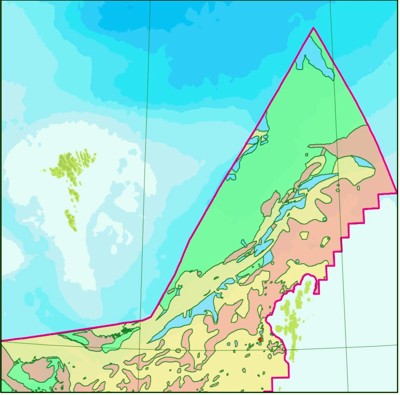
Regional-scale habitat mapping is vital for appropriate and sustainable management of the deep-water environment. NOC scientists work with Defra (UK Department for Environment, Food and Rural Affairs) to tackle one of the fundamental issues - classifying deep-water habitats. Many States are now attempting to designate representative Marine Protected Areas to include the range of habitats and species found in their waters (in the UK this is the Marine and Coastal Access Bill). To achieve this goal it is clearly necessary to understand which habitats are present and where.
The NOC deep-water habitat mapping team has the bio- and geoscience expertise, technology and practical experience to undertake studies throughout the world’s oceans.