Surveys
Cefas offers comprehensive specialist surveying services and has a rich history of working closely with governments, the energy sector, aquaculture and the shipping industry to provide expert advice.
Recognised internationally as an expert in marine science, Cefas combines extensive multi-disciplinary expertise with state-of-the-art technology and survey instrumentation, which includes our purpose-built survey platform, R/V Cefas Endeavour
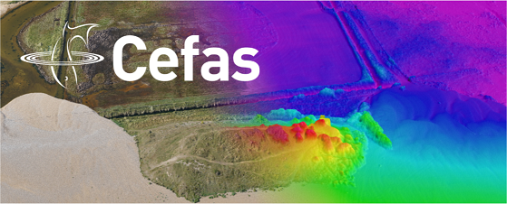
Whether you need aerial surveys of the coastal plain or marine surveys in water depths of up to 6000 m, Cefas can undertake a suite of surveys tailored to your specific project needs on an integrated or standalone basis. We also offer options for real-time data presentation to a web-based portal and incorporation of desktop and modelling services, thereby offering your business or organisation a comprehensive surveying service.
Our experts are well versed in regulatory requirements and can design your survey delivery to fulfil the project requirements, whilst helping your organisation to be compliant with all applicable regulations in a cost-effective way.
Some of our wider market customers have chosen to allow data derived from business activity to be made available to benefit local and national environment management. If this appeals to your organisation, we can support you in making a difference by contributing to efforts such as flood forecasting and nautical charting. You can find out more about our specialist surveying capabilities by browsing the pages in this section, or by contacting our team of experts today to discuss in greater detail how we can support your project.
Earth Observations Capability Statement
Metocean Capability Statement
Seabed Mapping Capability Statement
